Detailed description

Leaflet | © OpenStreetMap
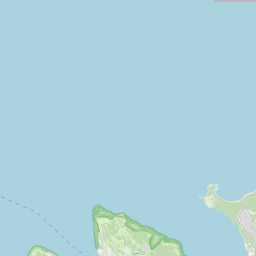
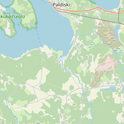
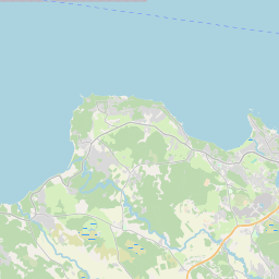
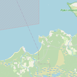
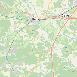
24.08356 59.24347, 24.23253 59.37930
Identity Description
| Title | Godzet Pöllkyl; och dess byar nembl. Ilmasahe och Langakylla; och godzet Habbenem i S. Maties sochen |
|---|---|
| Map type | Single sheet map |
| Reference code | EAA.1.2.C-IV-49 sheet 1 |
Creators
| Firstname | Lastname | Occupation of cartographer | Creators position |
|---|---|---|---|
| A. | Holm | cartographer |
Cartographical and Publishing Description
| Main subject | Not set |
|---|---|
| Material designaton | plan |
| Manuscript/Printed | manuscript original |
| Created | 1699 |
Components and Mathematical Description
| Components | graphical scale |
|---|---|
| Azimuth | Not set |
| Textual scale | 1000 küünart = 7,5 cm |
| Relative scale | 8250 |
Geographical Description
| Admin unit | Specification |
|---|---|
| Estonia (to 1917) / Estonia Guberniya / Harju County / Harju Madise Parish | Vasalemma jõgi, Põllküla, Laoküla, Langa, Ilmasoo, Uueveski, Koka, Suurküla, Soo, Tugedi, Vanaveski, Tugedi |
NB! location is approximate
Physical Description
| Storage form | rolled |
|---|---|
| Material and mounting | paper |
| Medium | ink+coloured |
| Dimensions (cm) | 157x77/2A0 |
| Access-restrictions | No access restriction |
Maps referred to by this map
| Reference code | Relation |
|---|---|
| EAA.1.2.C-II-30 | fair copy map |
| EAA.1.2.C-III-60 | fair copy map |
| EAA.1.2.C-III-61 | fair copy map |
Maps referring to this map
| Reference code | Manuscript/Printed |
|---|---|
| EAA.1.2.C-II-30 sheet 1 | manuscript original |
| EAA.1.2.C-III-60 sheet 1 | manuscript original |
| EAA.1.2.C-III-61 sheet 1 | manuscript original |