Detailed description

Leaflet | © OpenStreetMap
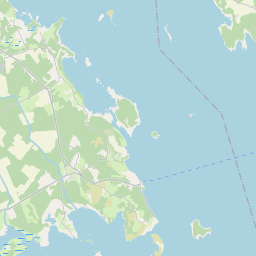
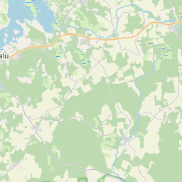
23.12 58.93, 23.39 59.05
Identity Description
| Title | План казеннаго имения острова Вормса Эстляндской губерний Гансальскаго уезда, Деревня Гулло. |
|---|---|
| Map type | Single sheet map |
| Reference code | EAA.3724.4.815 sheet 1 |
Creators
| Firstname | Lastname | Occupation of cartographer | Creators position |
|---|---|---|---|
| Kronberg | vanemtopograaf | cartographer |
Cartographical and Publishing Description
| Main subject | Not set |
|---|---|
| Material designaton | plan |
| Manuscript/Printed | manuscript duplicate |
| Created | 1903 |
Components and Mathematical Description
| Components | legend for symbols |
|---|---|
| Azimuth | Not set |
| Relative scale | 4200 |
Geographical Description
| Admin unit | Specification |
|---|---|
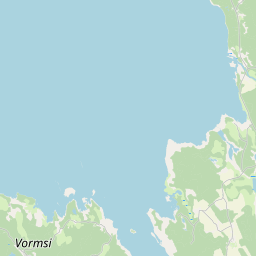
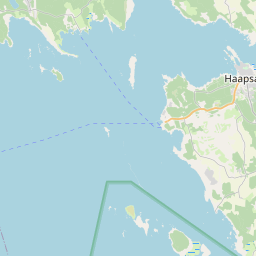
| Estonia (to 1917) / Estonia Guberniya / Lääne County / Vormsi Parish | Hullo |
Physical Description
| Storage form | Not set |
|---|---|
| Material and mounting | paper+textile |
| Medium | ink+coloured |
| Dimensions (cm) | 116x107/2A0 |
| Access-restrictions | No access restriction |