Detailed description

Leaflet | © OpenStreetMap
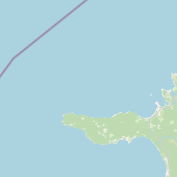
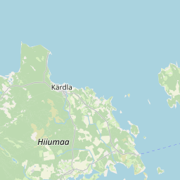
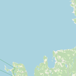
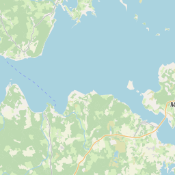
22.04 58.85, 22.67 59.09
Identity Description
| Title | Lääne maakond, Kõrgessaare vald; skeemiline kaart XIII-9 |
|---|---|
| Map type | Single sheet map |
| Reference code | ERA.T-3.1a.389 sheet 1 |
Creators
| Firstname | Lastname | Occupation of cartographer | Creators position |
|---|---|---|---|
| J. | Talmet | land surveyor |
Cartographical and Publishing Description
| Main subject | administrative |
|---|---|
| Material designaton | map |
| Manuscript/Printed | printed |
| Published by | Katastri Ameti kivitrükk, 1938 |
| Created | 1938 |
Components and Mathematical Description
| Components | legend for symbols |
|---|---|
| Azimuth | Not set |
| Relative scale | 10000 |
Geographical Description
| Admin unit | Specification |
|---|---|
| Estonia (1917-1950) / Lääne County / Kõrgessaare/Kõrgesaare Commune (1917-1946) |
Physical Description
| Storage form | streched |
|---|---|
| Material and mounting | boardpaper |
| Medium | printed |
| Dimensions (cm) | 67x62/A0 |
| Access-restrictions | No access restriction |
Maps referring to this map
| Reference code | Manuscript/Printed |
|---|---|
| ERA.T-3.1.389 sheet 1 | printed |