Detailed description


Leaflet | © OpenStreetMap
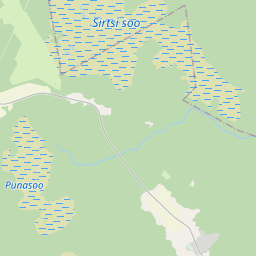
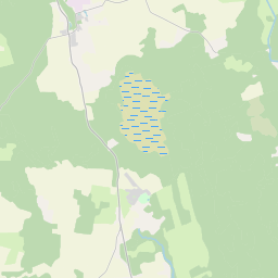
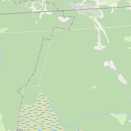
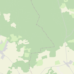
26.48752 59.20772, 26.64991 59.26865
Identity Description
| Title | Kurkyll Hoff och Derunder Liggiande Byn Woho i S. Jacobs Sochen i Wierlandt |
|---|---|
| Map type | Single sheet map |
| Reference code | EAA.1.2.C-I-35 sheet 1 |
Notes
Stiliseeritud leppemärkidega eristatud mõisasüdamed, talukohad, mõisa abihooned pealt vaates; mõisapiirid ja piiripunktid; teedevõrk, sooteed, aiad; mõisa külviväljad, talukõlvikute omandijaotus; vetevõrk, reljeefselt kujutatud oos; illustreeritud kompass-roos, graafiline mõõtkava.
Creators
| Firstname | Lastname | Occupation of cartographer | Creators position |
|---|---|---|---|
| Axell | Holm | maamõõtja | cartographer |
Cartographical and Publishing Description
| Main subject | Not set |
|---|---|
| Material designaton | plan |
| Manuscript/Printed | manuscript original |
| Created | 1696 |
Components and Mathematical Description
| Components | explication, illustrated, compass, graphical scale |
|---|---|
| Azimuth | Not set |
| Textual scale | 1500 küünart = 11,1 cm |
| Relative scale | 8250 |
Geographical Description
| Admin unit | Specification |
|---|---|
| Estonia (to 1917) / Estonia Guberniya / Viru County / Viru Jaagupi Parish / Küti Manor | Küti, Tõnsunõmme soo, Võhu, Kunda jõgi |
NB! location is approximate
Physical Description
| Storage form | streched |
|---|---|
| Material and mounting | paper |
| Medium | ink+coloured |
| Dimensions (cm) | 139x111/2A0 |
| Access-restrictions | No access restriction |
Documents of description
| Reference code | Title | Creator | Year |
|---|---|---|---|
| EAA.1.2.C-V-I sheet 33-34 | Description Böcker | A. Holm | 1691-1699 |
Maps referred to by this map
| Reference code | Relation |
|---|---|
| EAA.1.2.C-IV-137 | rough draft |