Detailed description


Leaflet | © OpenStreetMap
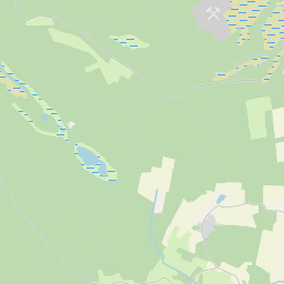
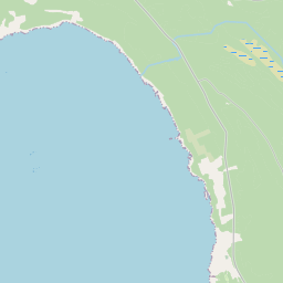
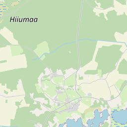
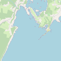
22.52335 58.80122, 22.73552 58.90262
Identity Description
| Title | [Топографическая 1-верстная карта России. Эстляндск. губ. Гапсальск. уезда. Лист 9-18/ Vene topograafide aastatel 1893-1913 mõõdistatud 1-verstane kaart.] |
|---|---|
| Map type | Subsheet |
| Reference code | EAA.854.4.27a sheet 145 |
Belongs to main sheet
EAA.854.4.27a sheet 1
Cartographical and Publishing Description
| Main subject | Not set |
|---|---|
| Material designaton | map |
| Manuscript/Printed | printed |
| Created | 1900 |
Components and Mathematical Description
| Components | graphical scale |
|---|---|
| Azimuth | Not set |
| Textual scale | 1:42 000 |
| Relative scale | 42000 |
Geographical Description
| Admin unit | Specification |
|---|---|
| Estonia (to 1917) / Estonia Guberniya / Lääne County / Käina Parish / Aadma Manor | |
| Estonia (to 1917) / Estonia Guberniya / Lääne County | Leigri, Männamaa, Tihu järv, Lelu, Taterma, Pärnselja, Kaigutsi |
Physical Description
| Storage form | in box |
|---|---|
| Material and mounting | paper |
| Medium | printed |
| Dimensions (cm) | 35x37/A2 |
| Access-restrictions | No access restriction |