Detailed description

Leaflet | © OpenStreetMap
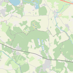
25.12196 59.40414, 25.32246 59.49419
Identity Description
| Title | [Топографическая 1-верстная карта России. Эстляндская губ. Ревелск. уезд. Лист 3-31/ Vene topograafide aastatel 1893-1913 mõõdistatud 1-verstane kaart.] |
|---|---|
| Map type | Subsheet |
| Reference code | EAA.854.4.27a sheet 23 |
Belongs to main sheet
EAA.854.4.27a sheet 1
Cartographical and Publishing Description
| Main subject | Not set |
|---|---|
| Material designaton | map |
| Manuscript/Printed | printed |
| Published by | 1923 |
| Created | 1898 |
Components and Mathematical Description
| Components | graphical scale |
|---|---|
| Azimuth | Not set |
| Textual scale | 1:42 000 |
| Relative scale | 42000 |
Geographical Description
| Admin unit | Specification |
|---|---|
| Estonia (to 1917) / Estonia Guberniya / Harju County / Jõelähtme Parish / Jõelähtme Manor | |
| Estonia (to 1917) / Estonia Guberniya / Harju County / Jõelähtme Parish / Jägala Manor | |
| Estonia (to 1917) / Estonia Guberniya / Harju County / Kuusalu Parish / Kodasoo Manor | |
| Estonia (to 1917) / Estonia Guberniya / Harju County / Jõelähtme Parish / Rummu Manor |
Physical Description
| Storage form | in box |
|---|---|
| Material and mounting | paper |
| Medium | printed |
| Dimensions (cm) | 35x37/A2 |
| Access-restrictions | No access restriction |