Detailed description

Leaflet | © OpenStreetMap
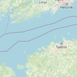
23.61 58.73, 25.82 59.68
Identity Description
| Title | Der Revalsche Kreis |
|---|---|
| Map type | Single sheet map |
| Reference code | EAA.2041.1.186 sheet 1 |
Creators
| Firstname | Lastname | Occupation of cartographer | Creators position |
|---|---|---|---|
| Ludwig August krahv | Mellin | cartographer |
Cartographical and Publishing Description
| Main subject | administrative |
|---|---|
| Material designaton | map |
| Manuscript/Printed | printed |
| Created | 1796 |
Components and Mathematical Description
Geographical Description
| Admin unit | Specification |
|---|---|
| Estonia (to 1917) / Estonia Guberniya / Harju County |
Physical Description
| Storage form | folder |
|---|---|
| Material and mounting | paper |
| Medium | printed+coloured |
| Dimensions (cm) | 74x53/A1 |
| Access-restrictions | No access restriction |
Maps referring to this map
| Reference code | Manuscript/Printed |
|---|---|
| EAA.1365.1.31 sheet 16 | printed |