Detailed description

Leaflet | © OpenStreetMap
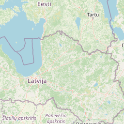
24.86 58.52, 25.30 58.72
Identity Description
| Title | Sovhoos "Võidula" väetistarbe kaart |
|---|---|
| Map type | Subsheet |
| Reference code | VAMA.R-688.1.232 sheet 4 |
Belongs to main sheet
VAMA.R-688.1.232 sheet 1
Cartographical and Publishing Description
| Main subject | Not set |
|---|---|
| Material designaton | plan |
| Manuscript/Printed | manuscript original |
| Certified by | RPI Põllumajandusprojekt |
| Created | 1967 (Estimated) |
Components and Mathematical Description
| Components | explication, legend for symbols |
|---|---|
| Azimuth | Not set |
| Relative scale | 10000 |
Geographical Description
| Admin unit | Specification |
|---|---|
| Estonia (1950-1991) / Pärnu County (1950-1991) / Vändra Village Council (1966-1991) | Võidula sovhoos |
Physical Description
| Storage form | streched |
|---|---|
| Material and mounting | paper |
| Medium | ink+coloured |
| Dimensions (cm) | 76x50/A1 |
| Access-restrictions | No access restriction |