Detailed description

Leaflet | © OpenStreetMap
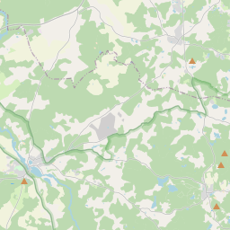
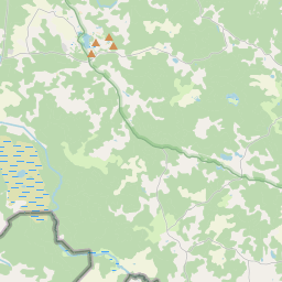
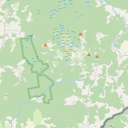
26.91 57.66, 27.17 57.77
Identity Description
| Title | [Haanja mõisa maade plaan (Vällamäe piirkond)] |
|---|---|
| Map type | Single sheet map |
| Reference code | EAA.308.2.225 sheet 1 |
Notes
Stiliseeritud leppemärkidega talud, kõrts; teedevõrk, külateed, maanteed; mõisa piir; omandijaotus, mõisa külviväljad; vetevõrk; kaunistatud kompassroos
Cartographical and Publishing Description
| Main subject | Not set |
|---|---|
| Material designaton | plan |
| Manuscript/Printed | manuscript rough draft |
| Created | 17. saj II pool |
Components and Mathematical Description
| Components | compass, graphical scale |
|---|---|
| Azimuth | Not set |
| Textual scale | Scala Ulnarum 1500 Alnar = 8,7 cm |
| Relative scale | 10400 |
Geographical Description
| Admin unit | Specification |
|---|---|
| Estonia (to 1917) / Livonia Guberniya / Võru County / Rõuge Parish / Haanja Manor |
Physical Description
| Storage form | streched |
|---|---|
| Material and mounting | paper |
| Medium | ink+coloured |
| Dimensions (cm) | 39x40/A2 |
| Access-restrictions | No access restriction |