Detailed description

Leaflet | © OpenStreetMap
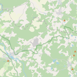
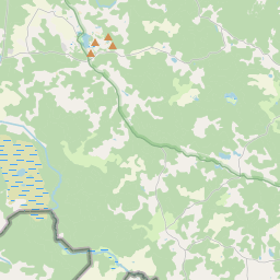
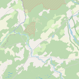
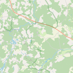
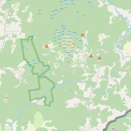
26.91 57.66, 27.17 57.77
Identity Description
| Title | Уменьшенный Плань Казеннаго имъния Гангофь Лифляндской Губерний Верровскаго Уъзда |
|---|---|
| Map type | Single sheet map |
| Reference code | LVVA.6828.4.380 sheet 1 |
Notes
teed, külad, talud (punktidena), jagatud metsad
Creators
| Firstname | Lastname | Occupation of cartographer | Creators position |
|---|---|---|---|
| Kronwald | noorem kroonumaamõõtja | land surveyor and cartographer |
Cartographical and Publishing Description
| Main subject | Not set |
|---|---|
| Material designaton | plan |
| Manuscript/Printed | manuscript original |
| Created | 1871 |
Components and Mathematical Description
| Components | legend for symbols, compass |
|---|---|
| Azimuth | Not set |
| Textual scale | 1:15600 |
| Relative scale | Not set |
Geographical Description
| Admin unit | Specification |
|---|---|
| Estonia (to 1917) / Livonia Guberniya / Võru County / Rõuge Parish / Haanja Manor |
Physical Description
| Storage form | Not set |
|---|---|
| Material and mounting | paper |
| Medium | ink+coloured |
| Dimensions (cm) | 111x70/A0 |
| Access-restrictions | Restrictions due to ownership |