Detailed description

Leaflet | © OpenStreetMap
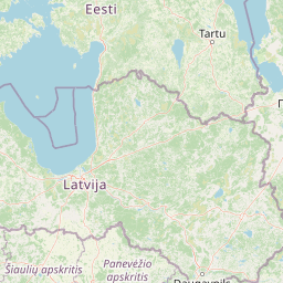
25.32 58.16, 25.55 58.29
Identity Description
| Title | Karlsberg. Kreis Pernau, Kirchspiel Hallist |
|---|---|
| Map type | Single sheet map |
| Reference code | EAA.3724.5.1624 sheet 1 |
Creators
| Firstname | Lastname | Occupation of cartographer | Creators position |
|---|---|---|---|
| J. T. | Günther | author of base map |
Cartographical and Publishing Description
| Main subject | Not set |
|---|---|
| Material designaton | plan |
| Manuscript/Printed | manuscript duplicate |
| Base map(s) year | 1865 |
| Created | 1906 (Estimated) |
Components and Mathematical Description
| Components | Not set |
|---|---|
| Azimuth | Not set |
| Textual scale | [] |
| Relative scale | 5200 |
Geographical Description
| Admin unit | Specification |
|---|---|
| Estonia (to 1917) / Livonia Guberniya / Pärnu County / Halliste Parish / Kaarli Manor |
Physical Description
| Storage form | Not set |
|---|---|
| Material and mounting | tracing paper/cloth |
| Medium | ink+coloured |
| Dimensions (cm) | 360x90/>4A0 |
| Access-restrictions | No access restriction |