Detailed description

Leaflet | © OpenStreetMap
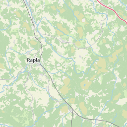
24.57 58.82, 25.21 59.16
Identity Description
| Title | Harjumaa Rapla, Juuru, Ingliste, Kaiu ja Kehtna vald; skeemiline kaart XV-33 |
|---|---|
| Map type | Single sheet map |
| Reference code | ERA.T-3.1.510 sheet 1 |
Creators
| Firstname | Lastname | Occupation of cartographer | Creators position |
|---|---|---|---|
| A. | Savi | land surveyor |
Cartographical and Publishing Description
| Main subject | administrative |
|---|---|
| Material designaton | map |
| Manuscript/Printed | printed |
| Published by | Katastri Ameti kivitrükk, 1938 |
| Created | 1938 |
Components and Mathematical Description
| Components | legend for symbols, graphical scale |
|---|---|
| Azimuth | Not set |
| Relative scale | 10000 |
Geographical Description
| Admin unit | Specification |
|---|---|
| Estonia (1917-1950) / Harju County / Kehtna Commune (1917-1950) | |
| Estonia (1917-1950) / Harju County / Rapla Commune (1917-1950) | |
| Estonia (1917-1950) / Harju County / Juuru Commune (1917-1950) | |
| Estonia (1917-1950) / Harju County / Ingliste Commune (1917-1938) | |
| Estonia (1917-1950) / Harju County / Kaiu Commune (1917-1938) |
Physical Description
| Storage form | streched |
|---|---|
| Material and mounting | paper |
| Medium | printed |
| Dimensions (cm) | 67x62/A0 |
| Access-restrictions | No access restriction |
Maps referred to by this map
| Reference code | Relation |
|---|---|
| ERA.T-3.1a.510 sheet 1 | |
| ERA.T-3.1a.510 sheet 2 |