Detailed description

Leaflet | © OpenStreetMap
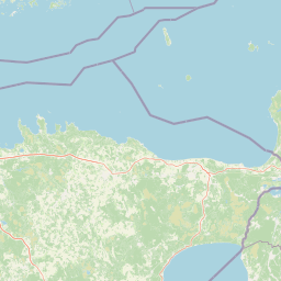
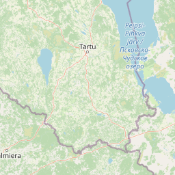
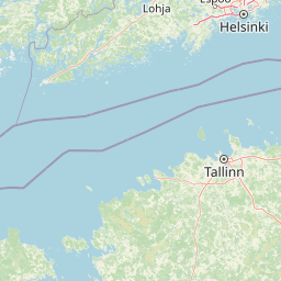
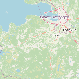
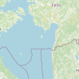
25.71 58.87, 28.41 59.62
Identity Description
| Title | Eesti topograafiline kaart 1:25000, II-45-46, Virumaa |
|---|---|
| Map type | Single sheet map |
| Reference code | ERA.T-6.3.95 sheet 1 |
Notes
Ülesvõtnud 1. juunist kuni 5. augustini 1923. a. ja joonestanud sv. topograaf leitinant P. Sergejev. Vene territoriaal maa-ala plaanile joonestatud 1914. a. vene 1-verstalise rekognostseeritud kaarti järele. Salajane
Cartographical and Publishing Description
| Main subject | administrative |
|---|---|
| Material designaton | map |
| Manuscript/Printed | printed |
| Published by | Riigi trükikoda |
| Created | 1923 |
Components and Mathematical Description
| Components | explication, legend for symbols, grid lines, graphical scale |
|---|---|
| Azimuth | Not set |
| Relative scale | 25000 |
Geographical Description
| Admin unit | Specification |
|---|---|
| Estonia (1917-1950) / Viru County |
Physical Description
| Storage form | streched |
|---|---|
| Material and mounting | paper |
| Medium | printed+coloured |
| Dimensions (cm) | 55x60/A1 |
| Access-restrictions | No access restriction |