Detailed description

Leaflet | © OpenStreetMap
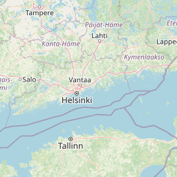
26.54 59.38, 26.91 59.53
Identity Description
| Title | Eesti topograafiline kaart 1:25000, Mahu II-38, Virumaa |
|---|---|
| Map type | Single sheet map |
| Reference code | ERA.T-6.3.94 sheet 1 |
Notes
Plaanistanud ja joonestanud leitnant Johannes Siigur
Cartographical and Publishing Description
| Main subject | administrative |
|---|---|
| Material designaton | map |
| Manuscript/Printed | printed |
| Published by | Riigi trükikoda |
| Created | 1930 |
Components and Mathematical Description
| Components | explication, legend for symbols, grid lines, graphical scale |
|---|---|
| Azimuth | Not set |
| Relative scale | 25000 |
Geographical Description
| Admin unit | Specification |
|---|---|
| Estonia (1917-1950) / Viru County / Mahu Commune (1938-1950) | Mahuküla |
Physical Description
| Storage form | streched |
|---|---|
| Material and mounting | paper |
| Medium | printed+coloured |
| Dimensions (cm) | 55x60/A1 |
| Access-restrictions | No access restriction |