Detailed description

Leaflet | © OpenStreetMap
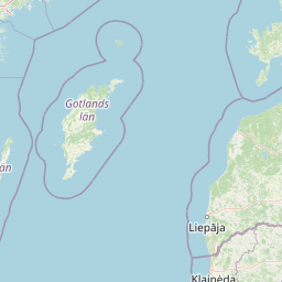
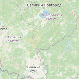
21.79 57.51, 28.41 59.69
Identity Description
| Title | Eesti topograafiline kaart 1:25000, kaardi kokkuseadmise leht |
|---|---|
| Map type | Single sheet map |
| Reference code | ERA.T-6.3.83 sheet 1 |
Cartographical and Publishing Description
| Main subject | other |
|---|---|
| Material designaton | index map; outline map |
| Manuscript/Printed | printed |
| Published by | Riigi trükikoda, VII. 1925 |
| Created | 1925 |
Components and Mathematical Description
| Components | grid lines, graphical scale |
|---|---|
| Azimuth | Not set |
| Relative scale | 1300000 |
Geographical Description
| Admin unit | Specification |
|---|---|
| Estonia (1917-1950) |
Physical Description
| Storage form | streched |
|---|---|
| Material and mounting | paper |
| Medium | printed+coloured |
| Dimensions (cm) | 45x45/A1 |
| Access-restrictions | No access restriction |
Maps referred to by this map
| Reference code | Relation |
|---|---|
| ERA.T-6.3.83 sheet 2 |